Jonas Carter · 15 September 2026
Combevale's Woodland Paths Reveal Centuries-Old Secrets Through New Community-Led Exploration Initiative
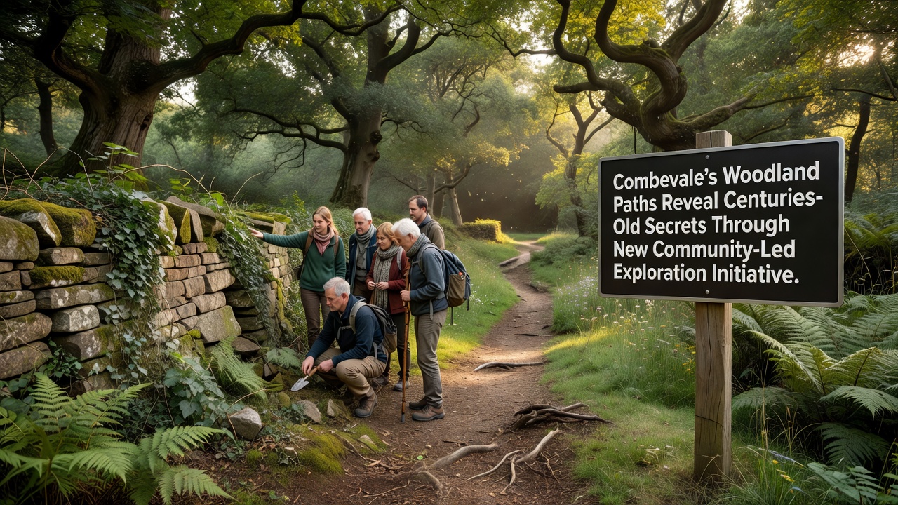
Community volunteers in Combevale have launched a structured exploration program that maps and documents historic trails running through the local woodlands, and these efforts have already uncovered evidence of human activity spanning multiple centuries. The initiative brings together residents, local historians, and archaeologists who use non-invasive survey techniques including ground-penetrating radar and systematic field walking to identify features hidden beneath the forest floor. Data collected so far points to layered use of the paths from Roman-era trade routes through to 19th-century industrial activity, while records from the project show consistent patterns of stone edging and drainage systems that remain visible in several sections.
Project Structure and Timeline
Organizers divided the woodlands into five survey zones based on topography and historical maps held by the county archive, and each zone receives attention from rotating teams of trained volunteers who log coordinates and photograph anomalies for later analysis. Training sessions run monthly at the village hall, and participants learn basic identification methods for earthworks and artifact scatters before heading into the field. The program timeline includes a major public open day scheduled for September 2026 when findings from the first two years of work will be presented alongside guided walks that follow newly verified historic alignments.
Initial results include a previously unrecorded holloway that aligns with known Roman road fragments recorded elsewhere in the region, and fragments of pottery recovered from surface collection match styles documented in collections held by regional museums. Additional features such as charcoal platforms and boundary banks suggest medieval woodland management practices that continued into later periods, and cross-referencing with estate records held at the local library has helped date several of these elements with greater precision.
Methods and Community Involvement
Volunteers operate under protocols developed in consultation with professional archaeologists, and all work follows guidelines set out by heritage bodies to ensure minimal disturbance to the sites. Digital mapping software allows real-time uploading of observations, while regular review meetings help refine survey priorities based on emerging patterns. Local schools have incorporated elements of the project into geography modules, and students contribute to vegetation surveys that complement the historical data.
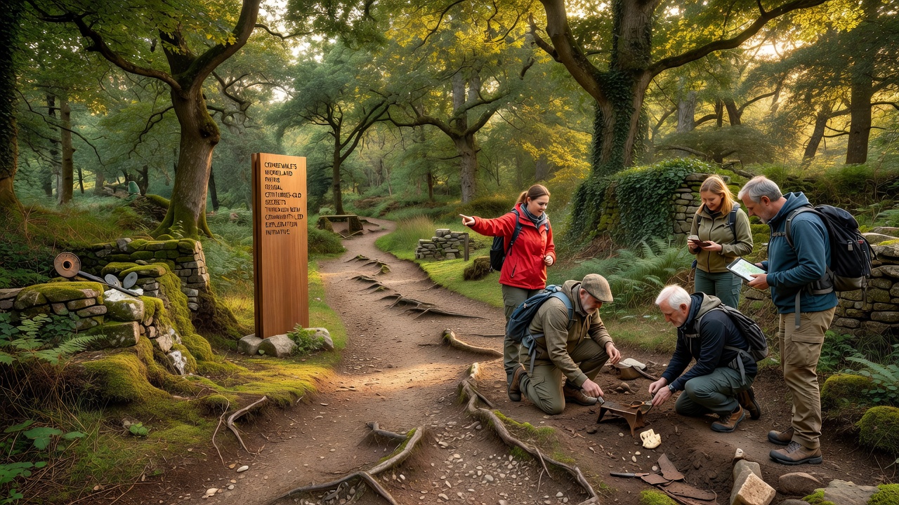
Partnerships with neighboring parishes have extended the mapping effort beyond Combevale boundaries, and shared databases now connect findings across several valleys. Equipment loans from regional heritage organizations have supplied additional survey tools, and funding from small grants covers insurance and basic supplies. Participation numbers have grown steadily since the launch, with over 120 individuals registered for at least one activity in the current season.
Documented Discoveries
Among the most notable finds is a series of carved stone markers located along one primary path, and initial stylistic assessment suggests they date to the early modern period when the woodlands supplied timber for shipbuilding. Soil samples taken from associated ditch features contain pollen evidence of species changes consistent with documented clearance events in the 1700s, and these results align with patterns reported in similar woodland studies conducted by the US National Park Service. Further analysis of metal detector finds, limited to surface recovery under license, has produced agricultural tools and personal items that illustrate daily use of the routes over generations.
Researchers note that the combination of LiDAR data and ground verification has revealed a denser network of secondary paths than earlier maps indicated, and several of these connect to known settlement sites outside the immediate woodland area. The project maintains an open-access repository where processed data becomes available after internal review, allowing other groups to compare results with their own surveys in comparable landscapes.
September 2026 Public Event
Preparations for the September 2026 event include an exhibition at the community centre that displays selected artifacts alongside interpretive panels explaining their context within broader regional history. Walking routes will be marked for the day to allow visitors to follow sections of the documented paths, and volunteer guides will share findings from each survey zone. Organizers expect several hundred attendees based on registration interest recorded to date, and the event also serves as a recruitment point for the next phase of fieldwork.
Conclusion
The community-led approach in Combevale demonstrates how systematic documentation of woodland paths can bring together scattered historical evidence into a coherent picture of long-term landscape use. Continued work through 2026 and beyond will expand the dataset, and connections formed with other heritage projects provide opportunities for comparative analysis across different geographic areas. Records generated by the initiative remain available for researchers and residents alike, supporting further study of the region's layered past.